A somewhat cool and cloudy day walking 27.8 kilometres among the Pieria mountains through woodland and across open countryside on vehicle tracks, as the footpaths indicated by my GPS proved elusive. 870 metres of total ascent.
The day started on a forest track through beech trees and conifers, passing a herd of cows. As the trees thinned out I could see mountains and plains spread out in the haze. The extensive Polifitos reservoir was prominent in the foreground and part of the windfarm I crossed two days ago was on a ridge in the middle distance. On reaching the Bara "shelter" I found a two storey building locked up but bedding, food and cooking equipment showed that two, somewhat untidy people were using the glassed-in veranda area as a temporary home. Shepherds or cowherds I assumed, looking after their animals on their high, summer pasture. Further on, some shaded picnic tables looked as if they were mainly frequented by cows judging from the amount of manure.
The GPS route I downloaded indicated I should turn off onto a footpath a little way beyond the Bara shelter. Although the footpath was also marked on my Balkans Navitracks GPS map, after a few hundred metres the path (or what may have just been cow tracks) became difficult to find, long overgrown by creeping juniper and blueberry bushes I expect. Having been thoroughly abraded just above the top of my boots by juniper needles and with mist from low clouds starting to hide any sign of a path I headed for a nearby vehicle track that which would intersect my GPS route in a few kilometres based on my Navitracks map. I was surprised to then find E4 waymarks on the vehicle track, contradicting the downloaded GPS route, albeit fitted to metal posts upside down! To the right of the track there were some potentially scenic rocks as the ground dropped away but any more extensive views were obscured by low cloud.
I continued for the rest of the day following vehicle tracks, ignoring where the "official" GPS route suggested I should take off into the undergrowth and trees, down some steep slope, on some path that was invisible to my eyes. This added a few kilometres but made for a more pleasant ramble.
For the latter part of the day I was dropping down into trees and I am now camped in a steep sided valley of beech trees on a flattish patch of ground, well below the level of the vehicle track, a few kilometres outside the village of Ano Milia.
A GPS file of my route can be found on wikiloc.com, or you can download it on your smartphone from ViewRanger, shortcode johnpon0038.
 |
| View back to Polifitos reservoir |
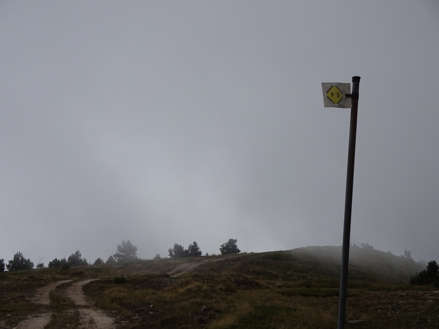 |
| Inverted E4 sign on the vehicle track I decided to follow |
No comments:
Post a Comment